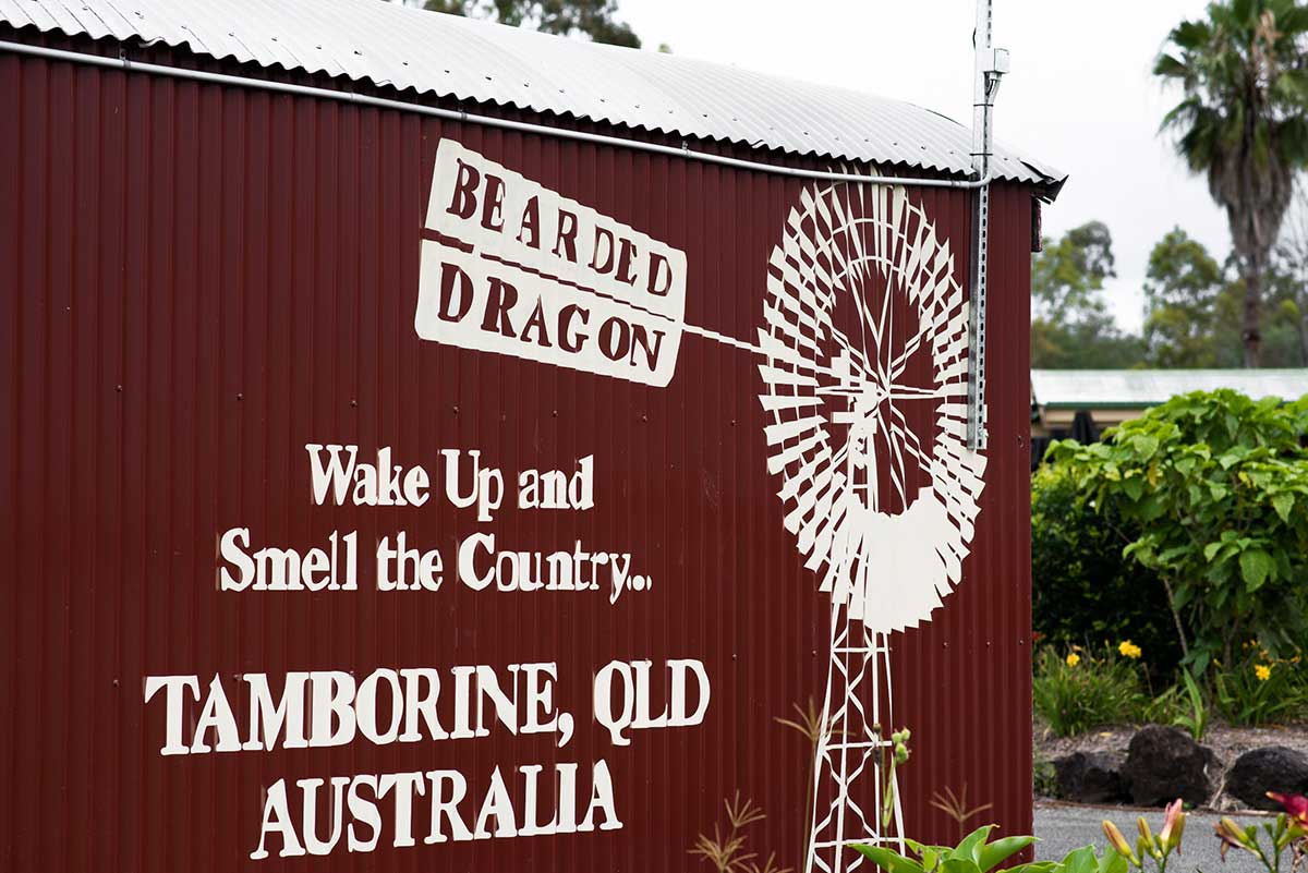
A bit of Tamborine Mountain trivia…
Tamborine Mountain (also often referred to as Mount Tambourine) is a volcanic rim plateau which has three townships or suburbs Eagle Heights, North Tamborine and Mount Tamborine. A small township called Tamborine or Tamborine Village is actually not part of Tamborine Mountain as such, as it is off the actual mountain, and is 50 meters above sea level at the foothills of Tamborine Mountain itself. A beautiful gateway to the scenic rim shire.
The highest point, the peak of the Tamborine Mountain plateau is 578.2 meters above sea level, and you can drive your car right onto it! It is located in North Tamborine, on the bend where Shiloh Drive turns right and becomes Sequoia Drive, the actual peak is the center of the large circular flat bitumen street corner.
The peak itself is also called Tamborine Mountain, or Wonglepong as the Aborigines would refer to it.
So North Tamborine is located south of Tamborine, Eagle Heights is not the highest point of Tamborine Mountain, and Mount Tamborine is part of Tamborine Mountain but not Mt Tamborine itself – glad we got that right!?